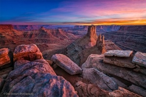
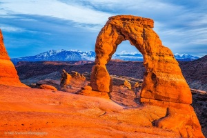
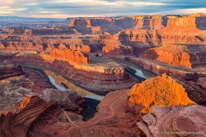
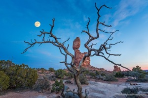
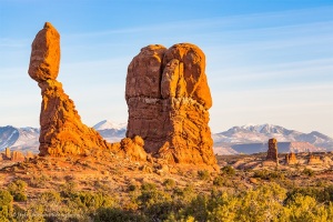
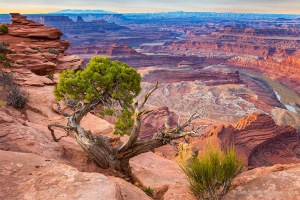
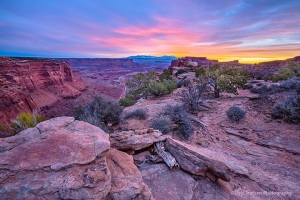
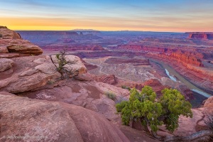
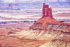
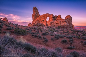
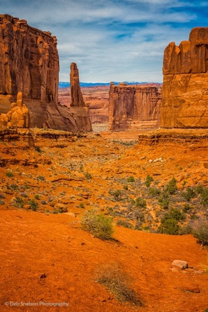
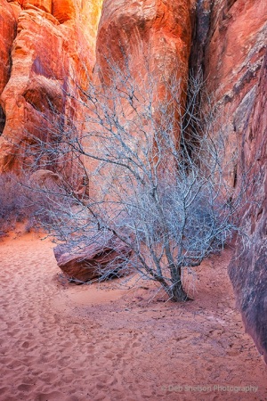
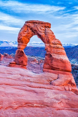
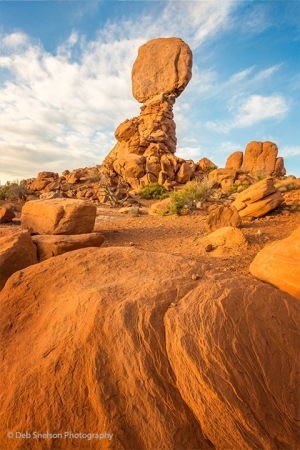
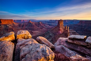
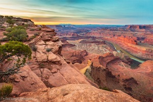
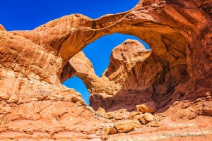
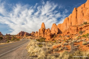
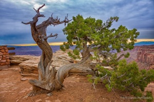
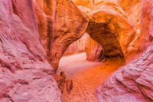
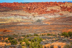
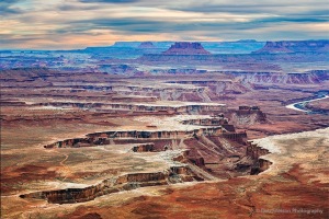
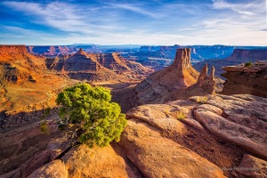
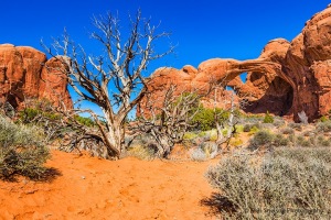
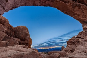
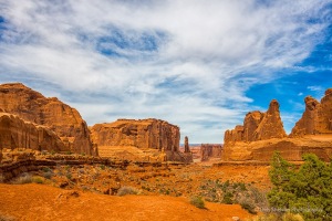
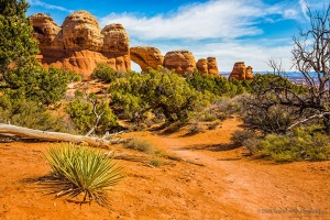
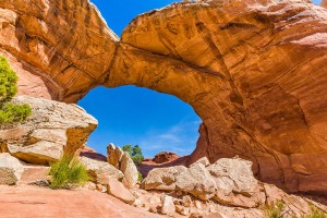
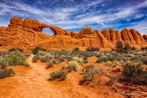
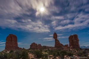
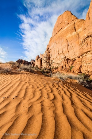
Early March 2017 I visited Arches and Canyonlands National Parks in Utah to soak in the scenery and make some images! The two national parks are a geologist’s dream playground! Arches is comprised of sandstone “fins” created by doming of an underlying salt bed that created vertical “cracks” that have since eroded into remarkable landforms including the many arches (more detail below for geology lovers). Just down the road, literally, 15 miles “as the crow flies”, is Canyonlands which does not have the underlying salt bed and is a study in sedimentary deposition and the effect of rivers carving through the stone. If you are going that way do not miss scenic views into Canyonlands from Dead Horse Point State Park just before you get to the national park entrance. This was my second visit to Arches and Canyonlands National Parks but this time with a totally different objective – to take the best photographs mother nature would allow. Well, mother nature eclipsed most sunsets and sunrises but I have a few images I am proud of.
Geology of Arches
The area west of the Rockies was once a basin in which changing sea level filled and evaporated the basin 29 times. With each cycle the evaporating seawater left behind a layer of salt until the final layer totalled over 5000 feet thick. As the ancestral Rockies eroded it created a sandstone layer on top of the salt bed. Pressure from the accumulating sandstone caused the salt to flow and create a massive salt dome. Sand and sediment continued to accumulate and harden into rock, reaching a mile thick. Tectonic forces caused the rock to bend, and long vertical parallel cracks (joints) formed in the rock. Later, when the Colorado Plateau rose, the Colorado River and its tributaries eroded away most of the mile-thick stone. When the cracks became exposed at the surface water seeped down through the joints allowing some of the salt to dissolve. With some of this salt removed the unsupported rock fell over time creating salt valley. At the edges of salt valley some remaining rock still stood as thin sandstone walls called fins. As the fins wore down sand collected between the vertical walls. Acidic rain plus carbon dioxide formed carbonic acid in the sand, and over time the carbonic acid dissolved the calcium carbonate that held the sandstone together from the bottom of the fin upwards to create arches. In some cases weaker rock under stronger rock weathered away quicker than the overlying strong rock creating these holes and creating these distinctive natural arch formations. Water and time continue to erode this continually changing landscape.
Geology of Canyonlands
Sediments from the ancestral Rockies and even the Appalachians mixed with coastal dune and sand bar deposits created vast plains of sedimentary rock at sea level. The sediment accumulated and cemented together over hundreds of millions of years with distinctive coloring of many different geologic layers. There’s the red and white Cedar Mesa sandstone, the grayish-green Morrison Formation, pinkish Entrada sandstone, and tawny Navajo sandstone, just to name some of the geologic layers. The area comprising the park is part of the Colorado Plateau which formed by an uplift event called the Laramide orogeny about 70 million years ago, relatively recent in geologic time. The uplift raised the beds as much as 10,000 feet while keeping the layers mostly horizontal. At the same time underlying melted rock rose through cracks and cooled before reaching the surface creating pockets of igneous rock that is much harder than the surrounding sedimentary rock. Erosion exposed these harder deposits to create isolated mountain ranges. As the plateau rose rivers began to cut down through the layers. Today’s Green and Colorado Rivers carved the canyons aided by glacier melt and summer thunderstorms which scour the landscape and contribute to the river’s power. The layer-cake appearance of the harder rock stacks is caused by differences in minerals in the rock causing differential erosion and creating the stair-step patterns of ridges and towers.
Another item of note – the red to black coating on some exposed rock surfaces, exemplified by the Green River Overlook onto the plateau, is called “desert varnish”. The varnish is composed of clay minerals, oxides, and hydroxides of manganese and/or iron plus other trace elements. Manganese-rich varnishes are black while iron-rich varnishes are red to orange. Those made up of more equally balanced hydroxides are a shade of brown. Manganese also gives a shiny appearance. They are also living microcosms of bacteria able to take the manganese out of the environment and oxidize it onto rock surfaces. The source of desert varnish components are from atmospheric dust and surface water runoff.
