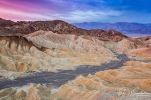
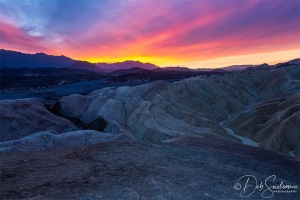
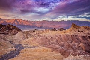
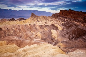
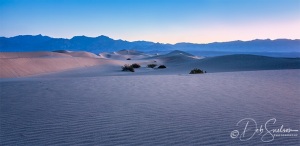
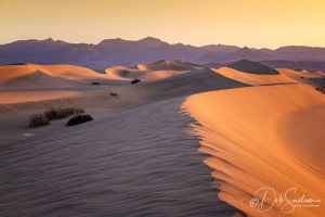
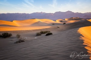
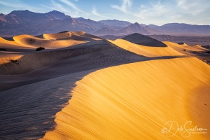
Death Valley National Park is a vibrant desert set between tall snow-capped mountains. The valley is most well known for being one of the hottest places on earth, with daytime summer temperatures of 120°F or higher. It is also the lowest point in the United States – Badwater Basin is 282 feet BELOW sea level. Add to that it is the driest of all the national parks. But photographically it is a wonder!
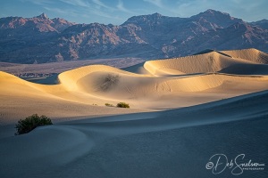
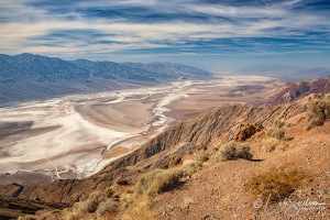
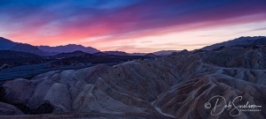
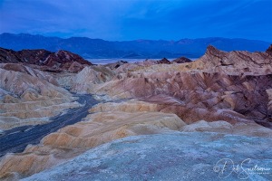
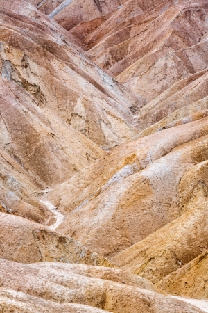
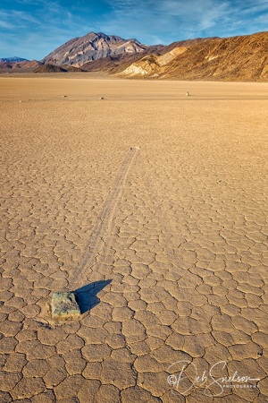
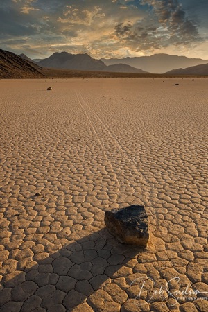
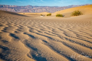
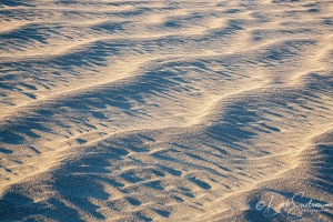
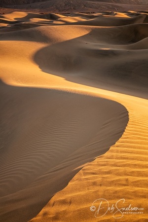
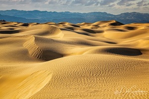
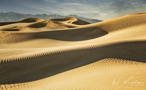
Dante’s Point is a great introduction to Death Valley National Park. A short path along a crest of the Black Mountains leads to a panoramic aerial view . Zabriskie Point at sunrise is the place to be, as the sun’s rays color the bottoms of clouds long before it has emerged above the horizon. Here you find the badlands before the earth’s surface dips to the valley and rises again for the Pinamint Range beyond. The Mesquite Flat Sand Dunes shift daily and form amazing peaks and valleys against the background of the mountains. Peculiar to Death Valley National Park are the “sailing stones”. These are rocks that have left tracks across a mud-cracked playa called the “Racetrack” showing how they have been moved by a combination of ice and wind.
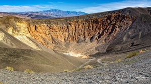
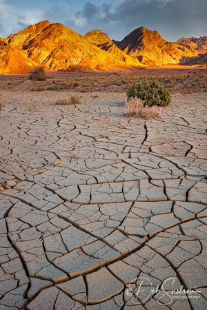
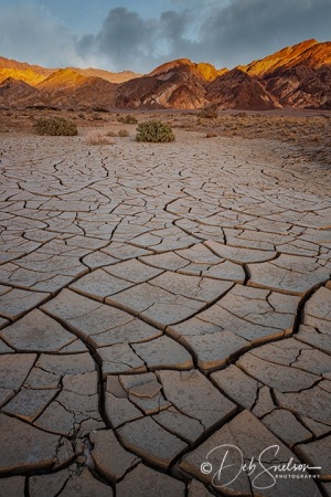
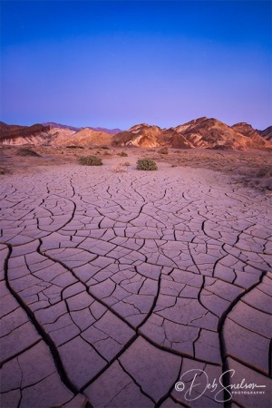
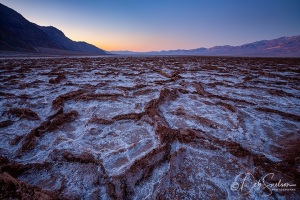
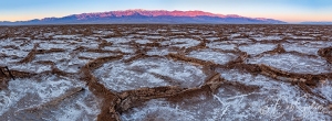
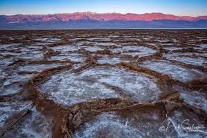
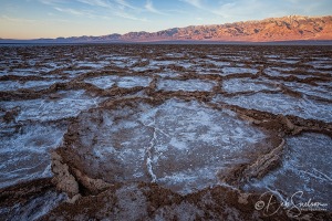
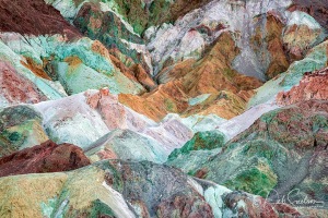
Mud cracks are easily found and searching for pleasing patterns to photograph can take hours. In Badwater Basin repeated freeze–thaw and evaporation cycles gradually push the thin salt crust on mud into hexagonal honeycomb shapes. These shapes at dawn make for great photographs. And Ubehebe Crater is such a surprise – magma from deep within the Earth came into contact with deposits of groundwater cause a gigantic volcanic steam eruption, covering an area within 15 miles of Ubehebe with debris. At its formation the crater was 800 feet deep! A great spot for photography is Artist Palette, where minerals within the rocks paint the face of the Black Mountains with jewel-tones. There is certainly variety at Death Valley National Park, including many things you may not see anywhere else.
Geology
The valley is actually a graben with the oldest rocks being extensively metamorphosed (pressure and heat at depth) and at least 1.7 billion years old. Ancient, warm, shallow seas deposited marine sediments until tectonic rifting opened the Pacific Ocean. Additional sedimentation occurred until a subduction zone formed off the coast. The subduction uplifted the region out of the sea and created a line of volcanos. Later the crust started to pull apart, creating the current Basin and Range landform. Valleys filled with sediment and, during the wet times of glacial periods, with lakes. The lake that at one time filled Death Valley, Manly Lake, was the last stop for water flowing in the region and was saturated in salts and minerals. This lake is mostly evaporated leaving the salt and mineral deposits we see now. Annual rainfall is about 1.5 inches, and when it does fall it often does so in intense storms that cause flash floods with remodel the landscape and sometimes create very shallow ephemeral lakes.
